Mt Buller already gives you a good map — on the mountain, in the resort’s own app, and on its website, with live lift and piste status. What none of them do is plan the way there. Tell Glidr where you are and where you want to get to, and it works out the exact sequence of pistes and lifts to ride, then guides you turn by turn. Here is that sequence to Kofler's Restaurant.
More than a map: what else Glidr does
Routing is the start. Glidr also keeps the parts of a ski day a piste map never touches — all private by default, so you decide what's shared:
- An end-of-day recap. When your day wraps up, Glidr shows your vertical, distance, runs, top speed, time on snow and lifts taken, a map trace of every run you skied, and any personal bests you set — with a one-tap card you can share.
- Your season stats. Lifetime distance, vertical, runs and days ridden add up over the season, alongside personal bests like your longest descent and biggest-vertical day.
- Friends on the mountain. Add friends by QR code, @handle or a shared link, see them live on the map while you ride, and share runs and recaps with photos, likes and comments.
- A live crew leaderboard. Skiing together? Glidr can rank your group's top speed and run count on each piste in real time, so there's a running scoreboard on the chairlift.
- Group trips. Organise day trips and meetups with your crew right in the app.
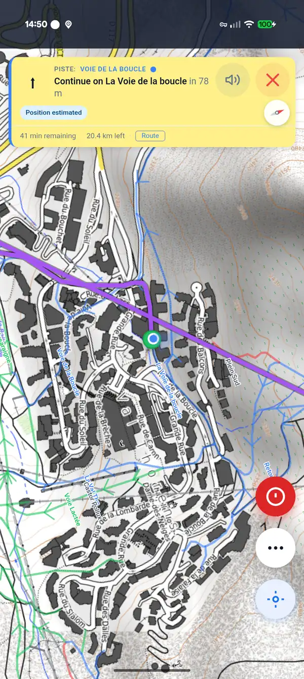
Turn-by-turn guidance in the Glidr app. Illustrative — a different, longer route than the one above. Map tiles © OpenTopoMap (CC-BY-SA).
 Glidr
Glidr